Lesach-Alm-Weg No. 112

Mountain biking alwasy within the sight of the Glödis (3.207m)

The most important at a glance

distance
13.2 km
altitude meters uphill
🔋
654 m
altitude meters downhill
🔋
655 m
highest point
🞍
1880 m
difficulty
🞽
average
circuit
🞍
no
fitness:
* * * * *
🞙🞙🞙🞙🞙
technique:
* * * * *
🞙🞙🞙🞙🞙
public transport:

Kals a.G. Lesacherhof

parking:

Parkplatz Lesach Zentrum

destination point:
Lesachalm
best season:
JUN, JUL, AUG, SEP

arrival

Bus stop
Kals a. G. Lesacherhof
Car park
Car park Lesach centre

altitude profile

Pdf file

Gpx file

Interactive map

Current weather conditions

Sonne-02.png
4°C/39°F °C

Description

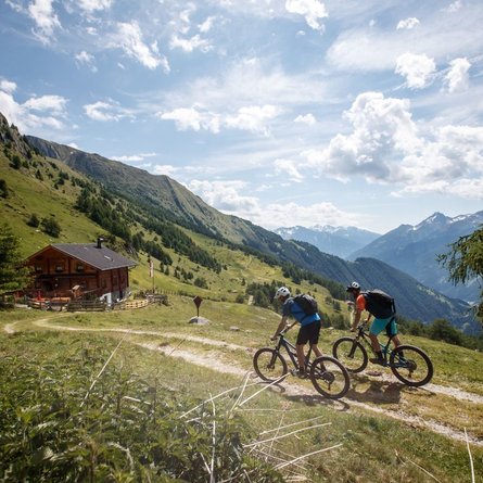
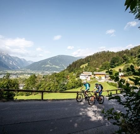
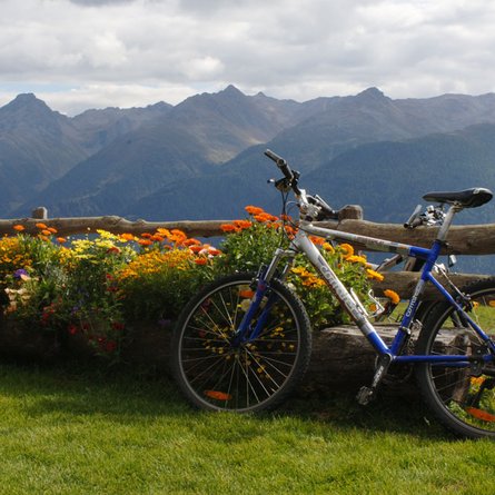
This moderately difficult mountain bike route starts at the Lana bridge. From there, cross the bridge to the Lesach district. Please take particular care on the short stretch on the main road (approx. 100m)! Continue into the Lesach district, past Gasthof Lesacherhof and up the road in hairpin bends to Oberlesach. From there, a forest road continues in serpentines to the barrier at Rubisoierhof. At the Lesach-Riegel junction, follow the path towards Lesachalm up through the forest. The last section of the trail is relatively flat and even slightly downhill to the end of the route. From the Alpengasthof Glödis Refugium (please note the opening times) you can enjoy a breathtaking view of the Glödis (3,207m).

Newsletter

Subscribe to our newsletter and receive the best tips every month for current offers, mountain tours, events and much more.