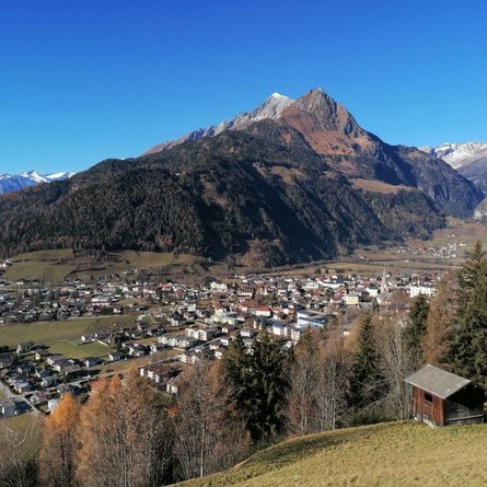
Tessenberger See

The most important at a glance

distance
12.8 km
altitude meters uphill
🔋
800 m
altitude meters downhill
🔋
780 m
walking time uphill
2:30 h
walking time downhill
2:30 h
total walking time
5 h
highest point
🞍
2124 m
difficulty
🞽
easy
fitness:
* * * * *
🞙🞙🞙🞙🞙
technique:
* * * * *
🞙🞙🞙🞙🞙
public transport:

Mit dem Bus bis zur Haltestelle "Panzendorf Gemeindeam Heinfels"

parking:

Parkplatz Gemeindeamt Heinfels

starting point:
Heinfels / Tessenberg
destination point:
Tessenberger See
best season:
MAY, JUN, JUL, AUG, SEP
route typ:
family tour

altitude profile

Pdf file

Gpx file

Interactive map

Current weather conditions

Sonne-03.png
10°C/50°F °C

Description

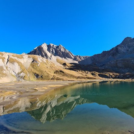
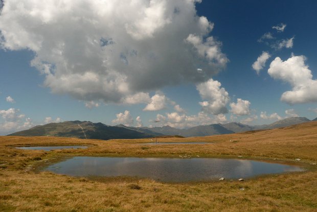
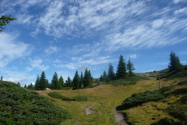
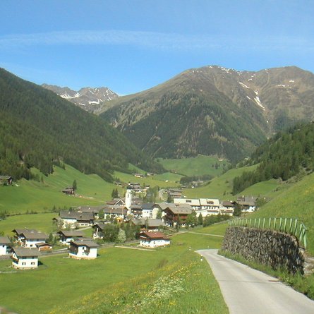
The starting point is Tessenberg. From there bear left on forest trail 1a or proceed risk-free through the forest, pastureland and via Alpine floor areas up to the Tessenberger Alm at 1900 m altitude. There is a superb view to Obere Pustertal. Starting from Tessenberger Alm on a signposted, easy hiking trail in 30 minutes you get to Tessenberger Almsee, which is particularly appreciated by children. From here you get to enjoy a superb panoramic view to the Lienz and Sexten Dolomites and to the Villgrater mountains.
 

Newsletter

Subscribe to our newsletter and receive the best tips every month for current offers, mountain tours, events and much more.